Road Condition Information
Access to most recent road conditions, load restrictions, work zones, weather cameras, width/height restrictions and weather radar.
- ND Roads - View our travel map online using your web browser.
- ND Mobile Apps - Download the app to view the travel map on your mobile device.
- Weather-Related News Releases - Read the latest statewide news releases related to weather events.
- North Dakota 511 - Call 511 to get real-time road, construction, weather, and travel updates across the state.
- Snow and Ice Control Information - Information about snow and ice control efforts used by NDDOT to improve winter road safety.
Disclaimer
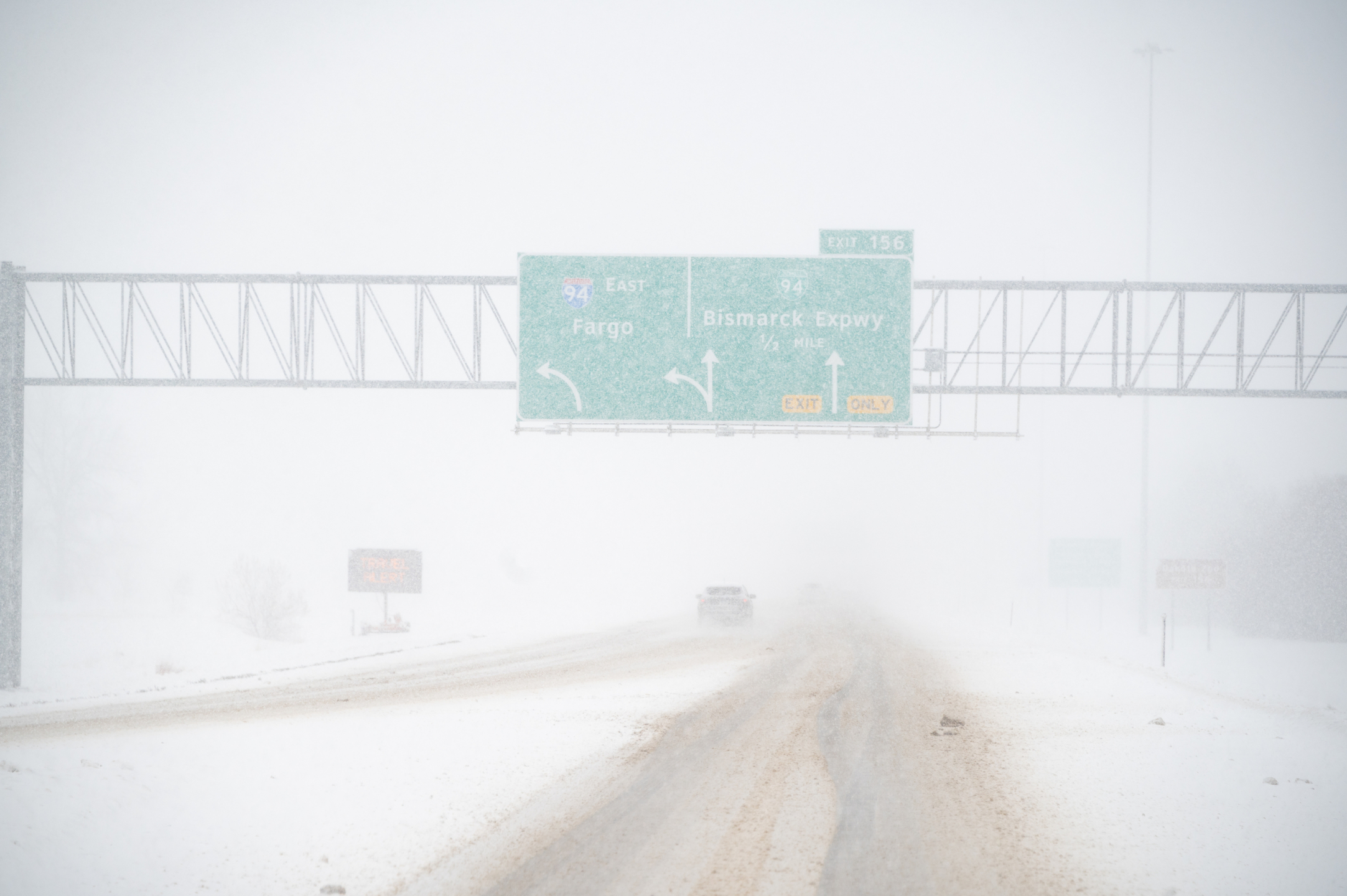
Travel information is based on available reports and may not show current road conditions. Conditions can change quickly. Drivers should stay alert and use caution.
Summer Travel Information maps are updated daily, or as needed, from mid-April through October.
Road Condition Terminology
The following terms will be used to relate to winter road conditions, to maintain consistency, and keep the traveling public well informed. The NDDOT will utilize these terms to inform the public about road conditions that warrant increased awareness.
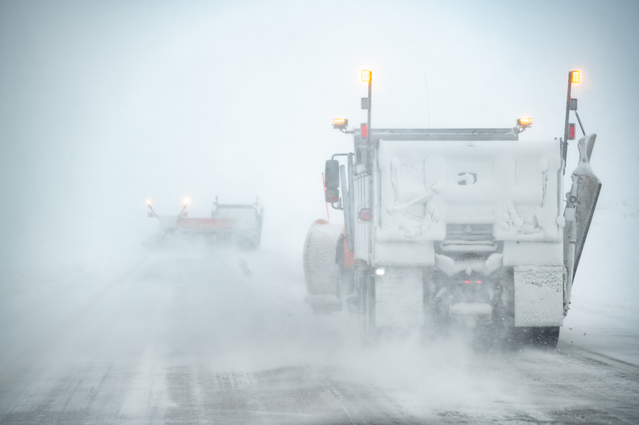
Motorists can still travel but may encounter areas of challenging winter weather driving conditions on roadways. Motorists should allow extra time to reach their destination and be alert to conditions that may make travel difficult, change rapidly, or cause travel delays. A travel alert has the potential to change to a no travel advised if conditions deteriorate.
Motorists should not travel due to hazardous conditions which may make it unsafe to travel. Snow plows may be pulled from the roads during severe conditions. Motorists should take no travel advised seriously as those motorists who choose to travel at their own risk may become stranded and emergency responders may not be able to reach them safely. A no travel advised has the potential to change to a road closed or blocked if conditions deteriorate.
The roadway is not open to traffic to protect public safety. Conditions may be hazardous or the road may be blocked. Motorists are not allowed to travel on a closed road and may be subject to a fine.
Road Weather Information System (RWIS)
Have you ever noticed equipment next to a highway, which looked like a small weather station, and wondered about its purpose?
These “weather stations” are called environmental sensor stations (ESS). A network of ESS make up a Road Weather Information System (RWIS). The North Dakota Department of Transportation (NDDOT) is one of many state DOT’s across the country which utilizes RWIS as a tool to obtain road weather information and aid in decision making.
An ESS contains sensors which measure atmospheric and pavement conditions at locations across North Dakota. Here are some examples of data which can be obtained from ESS:
Atmospheric data
- Air temperature
- Relative humidity
- Visibility distance
- Wind speed and direction
- Precipitation type and rate
- Radiation
- Barometric pressure
Pavement data
- Pavement temperature
- Pavement condition (Ex: wet, icy)
- Pavement friction
- Pavement images
- Subsurface temperature
ESS State Summary and Map
Environmental sensor stations are also available for public use. Road Weather Information System - GIS View ESS will appear as triangles on the RWIS map.